
 Deutsch
 Italiano
Millimetre-accurate
The point cloud documents the building as actually built – including downstand beams, slopes and service runs that appear in no old drawing.
In existing buildings, the design basis is the biggest risk: old drawings are rarely accurate, and every wrong assumption spreads into every trade. PCM-Reichl surveys existing buildings itself with a 3D laser scanner – a millimetre-accurate point cloud, modelled in-house into an as-built BIM model. You can also commission the scan on its own – without a design contract. From Lindau (Lake Constance) and Memmingerberg (Allgäu) – throughout Germany, in Austria and Switzerland, and internationally.
You need a reliable survey but no design work from us? Then commission the as-built survey on its own – without a design contract and without any obligation to further services. We scan, register and model; you receive the data in open formats and continue yourself or with your design office.
You choose the deliverable: point cloud only (RCS, E57) · 2D drawings with floor plans and sections (PDF, DWG) · as-built BIM model (Revit, IFC) · site plan, orthophotos and 3D walkthrough.
For: building owners and clients, architects and design offices, general planners and general contractors, housing companies and serial-renovation providers.
A 3D laser scanner captures rooms without contact and generates a point cloud: millions of measurement points that map geometry, plant and services to the millimetre. What takes weeks with a folding rule and survey sheets – and still leaves gaps – the scan completes on site within a few hours.
The point cloud documents the building as actually built – including downstand beams, slopes and service runs that appear in no old drawing.
The scanner captures entire rooms per setup position – even large buildings are surveyed quickly.
Scanning is contact-free and does not interfere with the use of the building – production, offices and building services keep running throughout.
The point cloud is the raw material – it only becomes a planning basis as a model. From the scan we create an as-built BIM model: walls, floors, openings and the building services (MEP), at the level of detail your project needs. This lets you design, tender and build reliably – even without usable legacy documents. The model is then yours; on request we continue designing directly in it – as coordinated building services (MEP) planning. You will find all our services at a glance. What to specify when ordering is covered in our article Scan-to-BIM for existing buildings.
Laser scanning is not only useful in existing buildings but also on site. We scan the installed systems at fixed points in time and compare them with the design – before ceilings and shafts are closed up, for acceptance and after completion. Deviations become visible while they can still be corrected with little effort, and the operator receives documents that match what was actually built. How to specify timing, tolerances and deliverables is explained in our article As-built by laser scan.
The cost depends on three factors: the floor area and geometry of the building, the required level of detail in the modelling, and the deliverable you need – a pure point cloud, 2D drawings or a complete as-built BIM model. Quoting flat rates without knowing the property would not be credible.
After a brief consultation – documents, photos and, if needed, a site walk-through – you receive a quotation that transparently itemises capture, modelling and delivery formats.
In building services (MEP) projects, more than the building envelope matters: what counts are service routes, shafts, plant and plant rooms – exactly the areas most often missing from old drawings or long since built differently. We scan with the eye of the MEP designer.
This makes the as-built survey directly relevant to planning: as the basis for refurbishing and modernising – up to serial refurbishment with prefabricated elements – electrical systems, HVAC & plumbing and building automation (BMS) – on request through to MEP site supervision during construction.
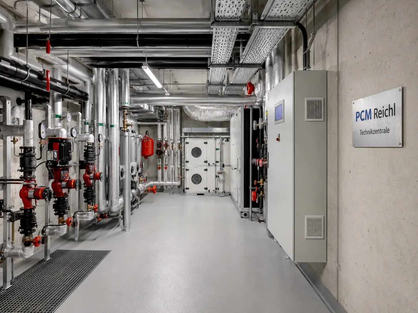
With us, scanning and MEP design are in one hand: the point cloud is captured with the later design already in mind. PCM-Reichl combines both: capture, modelling and specialist planning stay under one roof. Every piece of information from the scan arrives exactly where it is needed – no handover chain, no losses in interpretation.
Scan, model and design all use the same data set – nothing is translated between offices, nothing is lost at interfaces.
Engineers who will later design the routes and plant capture the building differently: with targeted precision exactly where it matters for the design.
You can also commission the scan without a design contract: we deliver point clouds, drawings or as-built models to building owners, architects and design offices who take it from there – handed over cleanly in open formats.
Whenever decisions rest on uncertain as-built data: refurbishment and modernisation, change of use and extensions, renewal of building services during ongoing operations – and wherever as-built drawings are missing, outdated or contradictory. The more complex the building technology, the sooner the precise basis pays for itself.
Yes. The as-built survey by 3D laser scanner is a standalone service with us. You can commission the scan only – as a point cloud, as 2D drawings or as an as-built BIM model – without a design contract and without any obligation to further services. You receive the data in open formats such as E57, IFC and DWG and continue yourself or with your design office.
That depends on the floor area and geometry of the building, the level of detail in the modelling and the deliverable you need – point cloud, 2D drawings or as-built BIM model. After a brief consultation you receive a transparently itemised quotation.
Depending on the size and accessibility of the building, on-site capture takes a few hours to a few days – without interrupting ongoing operations. The subsequent modelling into the as-built model depends on the agreed level of detail.
A point cloud is the digital image of a building made up of millions of individual measurement points, each captured by the laser scanner with exact 3D coordinates. It documents geometry, plant and services to the millimetre and is the basis for the as-built model, drawings and design.
We deliver the point cloud in standard formats such as E57, and the as-built model natively for Revit or as open IFC – plus derived 2D drawings as PDF and DWG. We agree which formats your project needs before the survey.
Every as-built survey follows the same five-step process. We carry out the capture from Lindau and Memmingerberg: around Lake Constance, in the Allgäu, around Memmingen and Kempten and, depending on the project, throughout Germany, in Austria and Switzerland, and internationally. More on the region: Building services planning Allgäu & Lake Constance.
We clarify objective, scope and level of detail in a short, binding exchange – based on existing documents and photos.
On-site scan appointment during ongoing operations – exterior areas and roofs captured additionally by drone, depending on the building.
Registration and clean-up of the scan data into a single, dimensionally accurate point cloud.
In-house modelling into the as-built BIM model at the agreed level of detail.
Point cloud, model and drawings in the agreed formats – or straight on into MEP planning.
For us, as-built capture is not a matter of interpretation but a documented standard. Housing companies, general planners and serial-renovation providers receive reliable, tender-ready data sets – based on a scope of services we commit to contractually.
Georeferenced capture of building and site with a local coordinate system. Permanently mounted control points on each facade side, structural reference levels measured at component openings.
Laser scanning and photogrammetry from apartment to site boundary – including staircases, basements and attics. Photo documentation with hand-measured control dimensions, repeat visits until capture is complete.
Delivered as RCS and E57, split into structured packages: interior, exterior with surroundings, entire site. A reduced working version for large data sets – linked to the model at true scale, workflow documented.
Modelled 1:1 from the existing building rather than idealised. Typically LOD 300 interior / LOD 400 envelope, neighbouring buildings LOD 100, tolerance down to 10 mm. Level and phase structure following your project template.
Wall thicknesses and inclinations as built, roof structure with real cross-sections, windows and doors with installation depth and shutters, balconies as separate elements, building services in correct position.
North-oriented, georeferenced site plan in survey quality (PDF + DWG), facade orthophotos and a virtual 3D walkthrough – viewable without special licences.

Your contact
Head of CAD/BIM · PCM-Reichl GmbH
Write to office@pcm-reichl.com – we will pass your enquiry straight on to Marcel Nägeli.
Let’s talk about your as-built survey.
Tell us about your building – you speak directly with the engineer responsible for both scan and design.
PCM-Reichl GmbH · Building services (MEP) engineering · Lindau (Lake Constance) · Memmingerberg (Allgäu) · +49 173 6959138